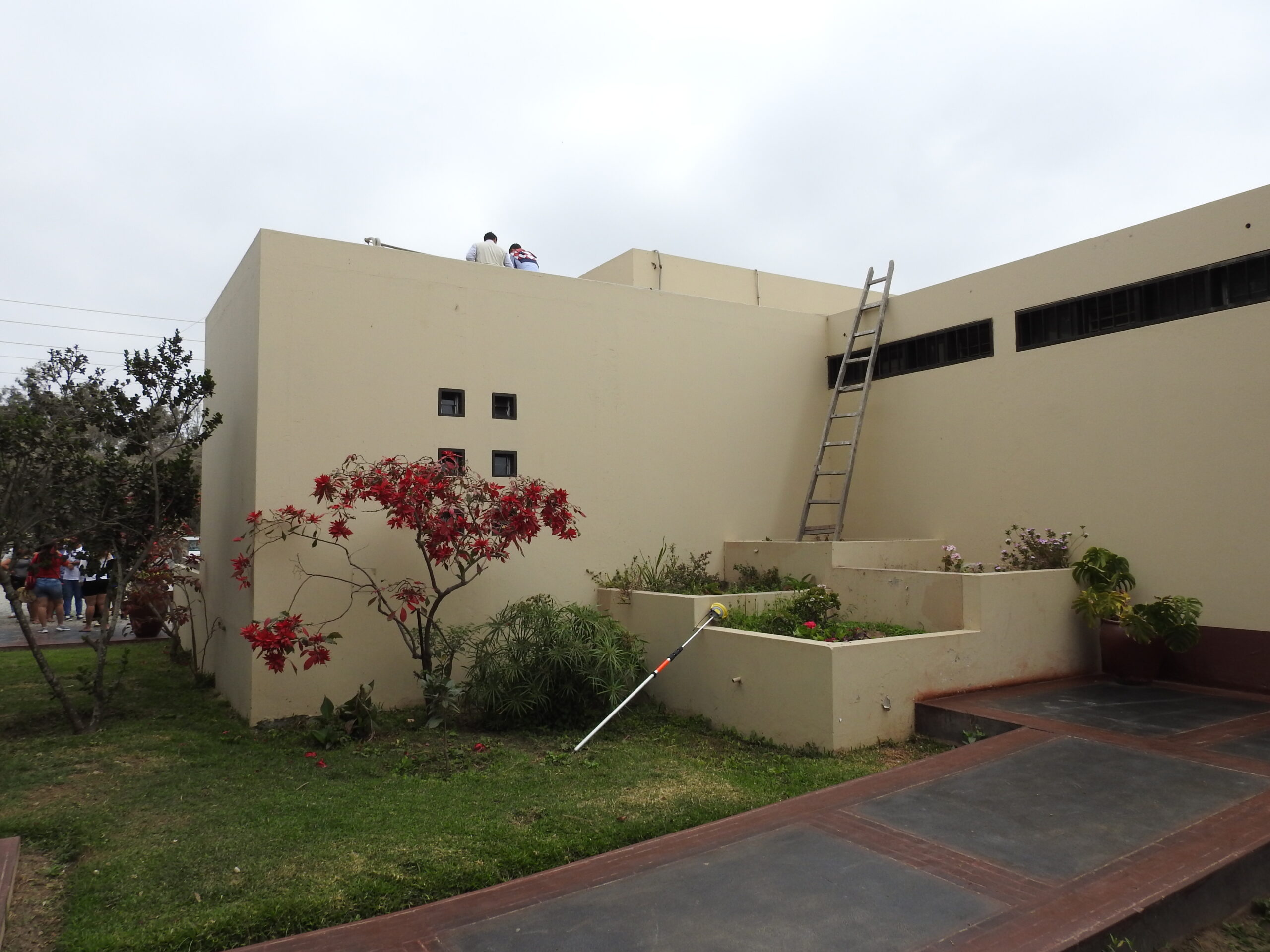
In 2017 MIPE organized a course on GIS for PECACH archaeologists and topographers, focusing attention on the potential of web-based information systems and on the creation and sharing of storymaps. The Chan Chan Archaeological Park GIS model – created by the Italian mission from its field research data – was described, and presented on this occasion to the Ministerio de Cultura. The course also concerned the various modes of use of Differential GPS. As a practical exercise, GPS was used to georeference the drone flights carried out over Palazzo Gran Chimu and Huaca Toledo, highlighting the system’s great potential and the need for PECACH technicians to be equipped with this important tool.